RPS - Oil Spill Model System (OILMAP)
OILMAP is an oil spill model system suitable for use in oil spill response and contingency planning. Oil spill modeling using OILMAP provides rapid predictions of the movement of spilled oil. A comprehensive 3D model is included that tracks various hydrocarbon components on the water surface, in the water column, and in the air.
OILMAP features
- Includes algorithms for spreading, evaporation, emulsification, entrainment, oilshoreline, oil-reed bed, and oil-ice interaction.
- Surface and subsurface oil movement can be animated to identify shoreline impacts.
- Outputs graphical and tabular listings of weathering mass balance results, and display of GIS resources impacted by the spill.
- Includes simple graphical procedures for specifying the spill scenario and entering both wind and hydrodynamic data.
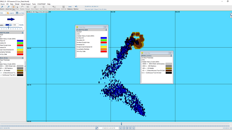
Trajectory & fates
Far-field model for surface and subsurface releases that predicts the 3D trajectory and fate of oil for instantaneous or continuous-release spills.
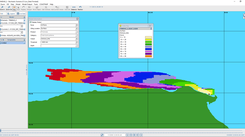
Stochastic
Used for risk assessment and contingency planning. Helps determine most likely spill paths and minimum time on a monthly, seasonal, or annual basis.
Request for proposal Contact Us
- +66 415 9741-2
- +66 62 775 5955
- Mail us: info@etneca.co.th
- Customer Service 24/7 Hours | Office Hours 8.30-17.30